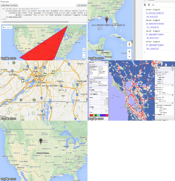
Angular Google Maps Tutorial: Demo, Examples
Angular Google Maps is a set of directives that integrate Google Maps in an AngularJS application. It makes using Google Maps in such an application very easy as you don’t need to know the Google Maps API in order to use it.
Getting Started
Let’s start with a simple example to illustrate how easy it is to display data on a map:
angular.module('appMaps', ['uiGmapgoogle-maps'])
    .controller('mainCtrl', function($scope) {
        $scope.map = { center: { latitude: 45, longitude: -73 }, zoom: 8 };
    });
This is all your controller needs in order to display a map centered on the specified location, which is defined by a latitude and a longitude. Zoom level is a value between 1 and 20, 20 being the most zoomed-in value, and 1 being the most zoomed-out.
The HTML code to display that map is fairly straightforward:
<div id="map_canvas" ng-controller="mainCtrl">
      <ui-gmap-google-map center="map.center" zoom="map.zoom"></ui-gmap-google-map>
 </div>
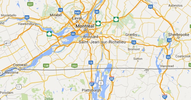
All of this obviously requires some dependencies: The Google Maps API, Angular JS, Angular Google Maps and Lodash, which is a dependency of Angular Google Maps. Here is what the end result looks like:


